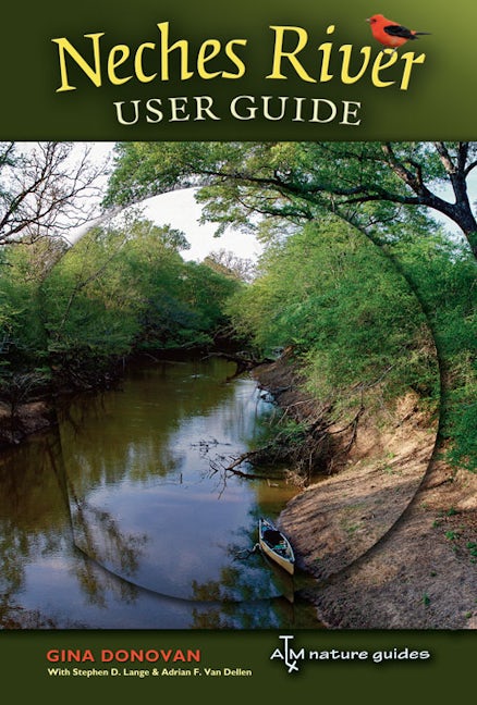
Neches River User Guide
978-1-60344-138-4 Paperback
8.5 x 5.5 x 0 in
96 pp. 84 color photos, 39 color maps, 5 b&w photos, 19 tables
Pub Date: 10/26/2009
Available
The Neches River winds through a large portion of Texas’ scarce public lands, and Neches River User Guide, a project of the Texas Conservation Alliance, offers outdoor enthusiasts a menu of ways to enjoy this wild Texas river.
As users flip through this guide book, its user-friendly maps will reveal the towns, roads, entry points, bridges, public lands, parks, and other landmarks along nearly 360 miles of the river’s course. Each map details practical information about public access points, potential hazards, camping facilities, and GPS coordinates for points of interest.
The guide also includes a brief description of the archeology and history of human habitation along the river, as well as photographs of plants and animals common in the bottomland hardwood ecosystem. A final note on conservation efforts, past and present, will help readers join in protecting the river for future generations.
To learn more about The Meadows Center for Water and the Environment, sponsors of this book's series, please click here.
About the Author
Reviews
Published by Texas A&M University Press