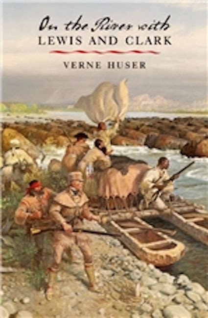
On the River with Lewis and Clark
978-1-58544-344-4 Paperback
6.12 x 9.25 x 0 in
224 pp. 49 b&w photos., 6 line drawings., 4 illus.
Pub Date: 01/28/2004
Available
On their remarkable journey across the North American continent, Meriwether Lewis and William Clark's "Corps of Discovery" traveled almost 10,000 miles, about 9,000 of them on rivers—the Ohio, Mississippi, Missouri, Jefferson, Beaverhead, Clearwater, Snake, Columbia, Yellowstone—or their associated forks, creeks, and tributaries.
With an expert's eye, Verne Huser tells us what it was like to mount and carry out an expedition that was "basically a river trip." From the construction of the boats in 1803 to the negotiation of the last miles home three years later, the explorers were tied inextricably to the river systems that carried them west into uncharted territory and back again. From the Ohio River to the Columbia, they rowed, paddled, pulled, poled, sailed, and portaged their way into history—mapping, collecting, and recording a country's first glimpse of its western wealth.
Himself a river man, Huser has canoed, rafted, or cruised much of the expedition's route. He brings to the famous story his knowledge of the "ways of wind and water," giving readers a rare, first-hand look at the benefits and hazards of river travel as they might have been experienced by the thirty-three explorers—some boatmen, some not—on the river with Lewis and Clark.
About the Author
Reviews
Published by Texas A&M University Press