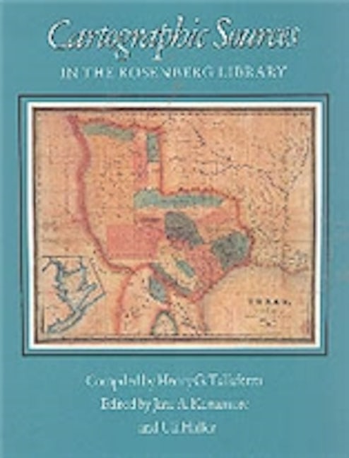
Cartographic Sources in the Rosenberg Library
978-0-89096-161-2 Cloth
6 x 9 x 0 in
248 pp. 5 color photos. 5 b&w photos.
Pub Date: 11/01/1988
Available
BUY NOW
- Cloth $33.95 s
The Texas coast remained for a long time one of the least-known stretches of the American Atlantic littoral, and Galveston Bay, the coast's most prominent feature, was not even shown by commercial mapmakers until 1799. The extensive cartographic collection of the Rosenberg Library in Galveston documents the development of cartography for this region. The Rosenberg holds maps that show Galveston Bay from 1725 on, as well as the rest of Texas, the Gulf of Mexico, the Caribbean Sea, and adjacent coasts. Its maps illustrate European exploration of the New World during the sixteenth and seventeenth centuries and the development of Texas during the eighteenth and nineteenth centuries. This detailed guide to the important cartographic collection at the Rosenberg is selective, with entries describing and relating the history of more than 550 of the most significant and useful maps in the library's holdings. Included are many original maps as well as photostats of rare or otherwise inaccessible maps. The descriptions focus on developments in Galveston and along the Texas coast but include other relevant topics as well. A generous scholarly introduction by Henry G. Taliaferro III traces the early cartography of the Texas coast, evaluating the importance of various documents and placing them in historical perspective.
About the Author
Published by Texas A&M University Press