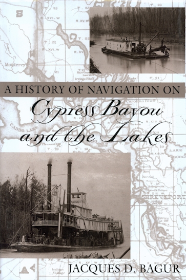
A History of Navigation on Cypress Bayou and the Lakes
978-1-57441-135-5 Cloth
6 x 9 x 0 in
840 pp. 136 photos. 73 illus. Maps.
Pub Date: 03/01/2001
Available
BUY NOW
- Cloth $67.95 s
A History of Navigation on Cypress Bayou and the Lakes examines water transportation and the natural and socioeconomic factors that affected it in Northwest Louisiana, East Texas, and the Red River. Jacques Bagur explains how the natural logjam called The Great Raft, a unique phenomenon on the Red River, formed a continuous waterbody west of Shreveport. In the 1800s, enterprising steamboat captains traveled east on the route—known as Cypress Bayou and the Lakes—and developed a system of ports and landings. Jefferson became the most important of these, tapping market areas to the north, south, and far to the west.
Bagur has analyzed old Corps reports, historic maps, early travel accounts, and period newspapers to reveal the story of the area from 1800 to the present. Farmers and ranchers from as far as Dallas loaded goods onto Jefferson steamboats bound for Shreveport and New Orleans. Despite an expansion in commerce after the war, the steamboat's heyday on Cypress Bayou was over by 1880, seemingly because of the 1873 removal of the Great Raft by E. A. Woodruff and the Corps of Engineers. Bagur's research, however, confirms that the ports and landings fell victim to the same source that helped extinguish many early settlements: the railroad. Today, a dam prevents boats from traveling between Shreveport and Jefferson, yet this remarkable waterbody still offers much to contemporary watercraft.
Bagur has analyzed old Corps reports, historic maps, early travel accounts, and period newspapers to reveal the story of the area from 1800 to the present. Farmers and ranchers from as far as Dallas loaded goods onto Jefferson steamboats bound for Shreveport and New Orleans. Despite an expansion in commerce after the war, the steamboat's heyday on Cypress Bayou was over by 1880, seemingly because of the 1873 removal of the Great Raft by E. A. Woodruff and the Corps of Engineers. Bagur's research, however, confirms that the ports and landings fell victim to the same source that helped extinguish many early settlements: the railroad. Today, a dam prevents boats from traveling between Shreveport and Jefferson, yet this remarkable waterbody still offers much to contemporary watercraft.
About the Author
Published by University of North Texas Press


